Sisimiut to Aasiaat

 Back to Greenland Map List Greenland Photos Page 1 of 1

Ikerasarssuk 67 41N 53 37W

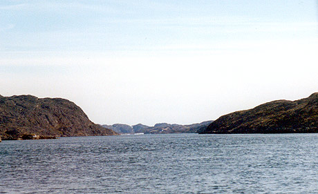
This is a very interesting inside passage running north from Faeringe Nordhavn. Navigation is easy except there is a large submerged rock at 67 41.31N 53 35.85W. Keep to the west side of the channel you will see the current swirling round the rock. The current at the north entrance to the Ikerasarssuk was running at 6 knots.

There is a good anchorage in the bay on the east side of Qeqertarssuaq Island. 67 39N 53 38W. We sat out a SW storm gusting to 85 knots in this anchorage.
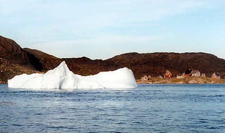
Once you leave the Ikerasarssuk on the way north you start to see more icebergs as you approach Disko Bay.

Attu 67 56N 53 37W

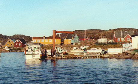
We didn't stop in Attu but it appeared to have a suitable wharf.

We carried on to anchor south of Satue Island as recommended in the RCC cruising guide.

Aasiaat (Egedesminde)

If traveling by boat you will probably already have been talking to Aasiaat Radio on the way north.

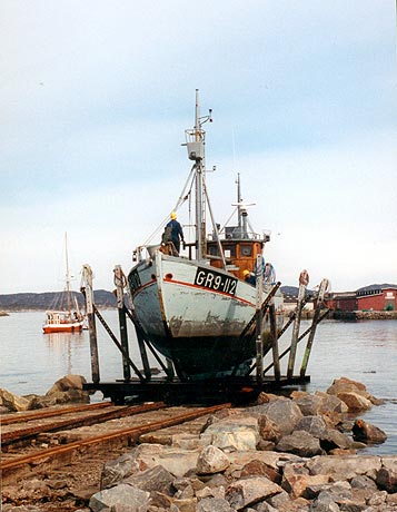
Wharf space is a bit limited but you can anchor in the harbour inside the Transitoen Island with the fish plant on it, near this marine railway. The plant on the island is closed but you can get water from another newer plant on the mainland about a mile further east.

I recommend getting chart 1550 if you plan to sail into Aasiaat.

 Back to Greenland Map List Greenland Photos Page 1 of 1