The Great Ocean Road

Australia Map | Home Page 2 of 2 | Page  Up

A magnificent achievement

Alderman Howard Hitchcock

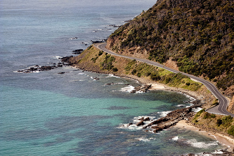
Gelong's Mayor was a prime mover in the creation of 
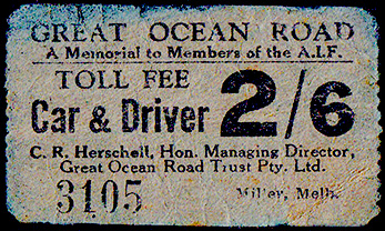
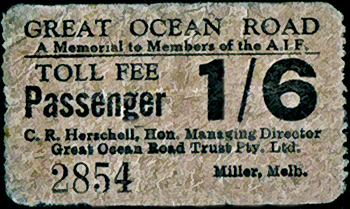
the Great Ocean Road, forming a trust to raise funds

A man for his times he had recognised the need to provide work for returning WW1 servicemen, to acknowledge their service and to memorialise those who did not come home

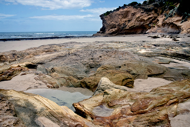
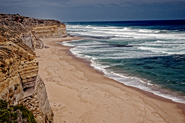
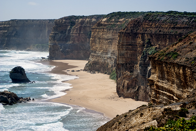
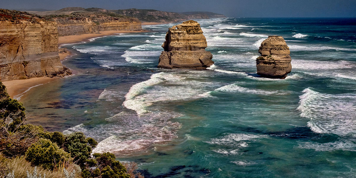
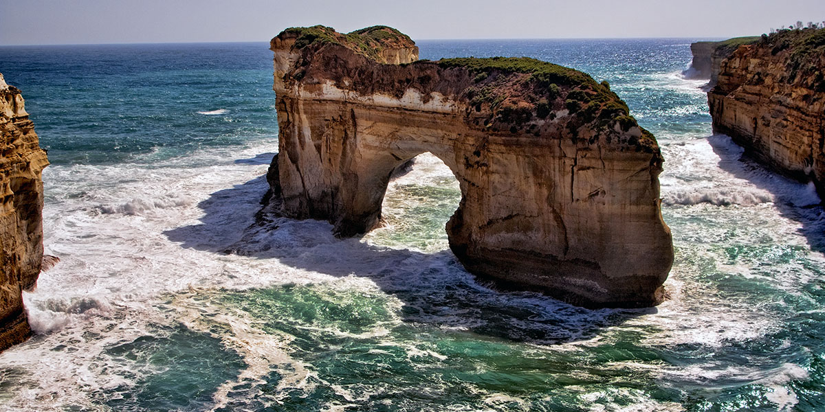
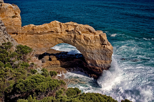
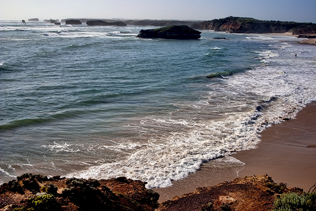
The canny mayor also realised the power of the coastline and surrounding areas of outstanding natural beauty to attract tourists.  In Geelong he is still considered 'The Father of the Road'

Sadly Hitchcock died of heart failure on August 22nd 1932, before the road was completed, though his car was driven behind the governor's in the procession along the road during the opening ceremony on November 25th 1932

Early travellers were greeted by toll gates at the Eastern entrance, two and six pence for drivers and one and sixpence for passengers.  With loans paid off the toll was abolished and the Trust gifted the Great Ocean Road to the State on Oct 2nd 1936

In 2018 when asked about proposals for reinstating tolls, the Minister of Roads responded "You're kidding, it's not happening, full stop"

Picnic At Urquhart Bluff

Named for William Swan Urquhart who surveyed much of the colony of Victoria.  Part of a stunning landscape of limestone cliffs and bluffs rising to 50m in height, and at their base white rugged rock strewn beaches.  Twelve beaches in all just waiting to be explored.  As if this were not enough one might spot seals and dolphins and in May and October Southern right whales are on their annual migration from the sub Antarctic to their breeding grounds.  I think this must be the definition of 'an embarrassment of riches'


On the road again we found we couldn't bring ourselves to pass an outlook,  after so many we decided to make straight for the next town but as the signs appeared for yet another spectacular spot we pulled over once again.  It wouldn't do to miss the best view on the whole road for the sake of a quick look but it truth they were all wonderful in their own way

Gog and Magog

The Twelve Apostles

Among the Crown jewels of the Great Ocean Road.  Really there were only ever nine Apostles here, in July this year one of them collapsed so now they are eight.  Be that as it may, 'The Twelve Apostles' was marketing magic, much more appealing than their former name 'The Sow and Piglets' which is what it was called prior to 1922 

Island Archway

The Arch


The Bay of Martyrs

At this bay European settlers herded local Kirrae-Wurrong indigenous people off the cliffs to horrific deaths

Port Fairy

 The bay was named Port Fairy by the crew of the whaler The Fairy in 1828.  Seven years later a whaling station was established by John Griffiths and eight years after that a Sydney solicitor built a harbour on the Moyne River and named his new town Belfast.  It became one of Australia's largest ports, catering to the whalers.  In 1887 an act of parliament renamed the town Port Fairy

Mouth of the River Moyne and the Causeway to Griffiths Island

Some 90 bird species have been recorded from this island, mostly seabirds and waders

Surf and Turf Port Fairy Style

Endemic Cushion Bush
Battery Hill fortifications and canon installed 1887

due to a perceived threat from Russian warships

We left this very pleasant old whaling town having spent two night there.  Whaling is long gone but they still have a large fishing fleet. The town has much to recommend it, an interesting wide harbour with sandy beaches, a small island accessible via a breakwater which is home to a colony of shearwaters and other wading birds.  A marsh with many species of birds and best of all a shoreline into which the white surf comes crashing all the way from Antarctica.  There are lovely B & B's backing on to the river, fine restaurants, trendy galleries, boutiques and decor shops as well as fish and chippies.  You have to love a town with an Aussie Rules football team called the Port Fairy Seagulls, yes one could be very happy here for a few days or a few decades

 Update:  In 2012 it was voted the worlds most liveable community (pop. under 20,000)  It came as no surprise to us

Leaving town we stopped once last time to watch the surfers

Homeward Bound

The route home took us through the Grampians and it was my turn at the X box, quite unnerving at times.  The scenery is enticing but we were short of time so confined ourselves to the acclaimed Halls Gap Visitor Center, the Bambuck Aboriginal Culture Center and of course Boroka Lookout 

Springtime In The Grampians

The  Visitor Center was extolling the virtues of hiking the area at night.  I can't imagine anything scarier.  I can barely bring myself to step on well trodden paths in the daylight for fear of what I might disturb.  Half the nasties come out after dark so why go then?

   Boroka Lookout                                                                         

The lookout is impressive and the hiking tempting, as Halls Gap is only 2.5 hour from Castlemaine we vowed to come again. 

Australia Day, January 26th 2006 the town of Halls Gap suffered major damage as a raging bushfire started by lightening swept through the Grampians Over 150.000 hectares were effected, 47% of the Grampians National Park.  We did want to go back and see devastation 

From the lookout we could see our red car far far away, living up to his name,  'Blot',  as in 'Blot on the landscape'

Australia Map | Home Page 2 of 2 | Page  Up