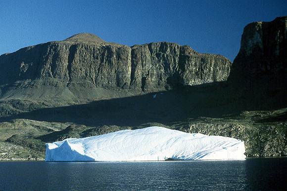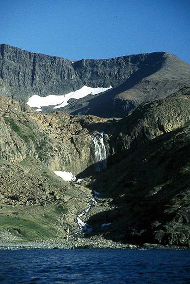
The area round Mugford Tickle is one of the highlights of any trip to northern Labrador. The Kaumajet Mountains rise over 4000ft from the sea and they seem higher because you are so close to them. There are a number of fabulous anchorages some of them too challenging for me to tackle single handed.
The names are in English on chart 4775 and Inuit on 4764.

Brave Mountain, 4300ft, on Grimmington (Kikkertaujak) Island. Taken from the center of Mugford Tickle looking north.
I anchored in Amity Harbour facing the west end of the tickle.
There are two dramatic anchorages which I didn't try but have heard about from others. One is Anchorstock Bight on the south side of Cod (Ogualik) Island and the other is Lost Channel (Kai-Kai Inlet) at the head of Mugford (Mc Donald) Bay.
All the anchorages are described in the "Cruising Guide to the Labrador"


