L'Anse Aux Meadows

Newfoundland Map | Home
lanse aux meadows 1.jpg (39788 bytes)

L'Anse aux Meadows is a must see because of the Viking site. Unfortunately the harbour is tricky to get into without local knowledge and there is no detailed chart 4512

The low island behind the white building is the islet above the word Medee on 4512.

lanse aux meadows 2.jpg (39558 bytes)

Enter Medee Bay to the east of the islet. There is a green buoy off the islet not shown on 4512. After passing the buoy don't head straight for the wharf but head approx SW until the wharf is abeam - approx where the letter Y of Bay is. The shoal NE of the wharf (two dots) is bigger than it looks on the chart. The wharf isn't very big but is in good condition and has about 7 ft at low water.
lanse aux meadows 3.jpg (40036 bytes)

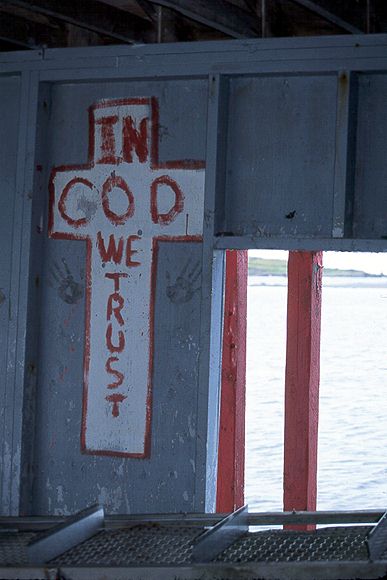
A particularly appropriate Newfie joke!

Medee Bay is a bit exposed for anchoring overnight but could work for a daytime visit. Hay Cove would be good in a SW wind but the problem would be where to land the dinghy, you would have to carry it above the tide and across the rocks. The other option is to anchor or tie to the wharf in Quirpon Harbour and beg a ride or walk 5 miles to the site.


lanse aux meadows 4.jpg (39326 bytes)

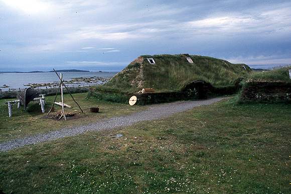
This is the Viking site settled for only about 20 years, over 1000 years ago. The sod houses are reproductions There is an excellent interpretation center which shows the story of how the site was found and excavated.

It's about a 30 minute walk from the wharf in L'Anse Aux Meadows.

Newfoundland Map | Home